By Marilyn Bruno, Climate Writer
Did you know that global warming can actually cause extreme cold snaps, too?
Anyone who has seen the 2004 movie, The Day After Tomorrow, has imagined a world where weather disruptions such as the arctic blast over the northern hemispheres can be the result of carbon dioxide (CO2) emissions exceeding the tipping point. This process thins the protective atmosphere and triggers shifting of high pressure air layers to areas of lower pressure (causing a lot of wind). In the movie, the winds turned into Superstorms, which is the stuff of science fiction.
What is not science fiction, though, is the extreme weather caused by air pressure disruptions that we are witnessing right now, as captured in these articles.
- An “atmospheric river” and “atmospheric bomb” attributed to the jet stream threatens on-going flooding and mudslides in northern and central California
- Record lows/freezing rain and sleet in Seattle
- Three storms in December that culminated in the Buffalo blizzard, which dumped a record 100 inches of snow and wind chill temperatures to minus 30 degrees, killing over 40 people, and even freezing seagulls in the ice
Why is this happening? Here is the science behind it. The “Arctic Oscillation” is the real and measurable flow of cold, wet air back and forth between the high air pressure of the North Pole to lower air pressure areas in the south. During the “negative phase,” freezing air pushes farther and farther south. Once the air pressure is higher in the south, the warmer air pushes north. This “positive phase” of the Arctic Oscillation is, however, now transporting more moisture-laden air that is too warm to freeze, melting the snow cap and creating a cycle of evaporation that triggers higher air pressure, accelerating the negative phase again.
It’s also good to know that the warmer air flowing north is already weakening the “polar vortex” — the huge ring of cold winds circling in the Earth’s stratosphere round the North Pole, about 12 miles up. The polar vortex has traditionally been held in place by the jet stream, a band of strong winds about 6 miles above the ground that flows between warm air from the tropics and subtropics and collides with the cold polar air, fueling the vortex’ spin. Since the flow has been recorded, the jet stream flowed west to east, bringing mild, windy and rainy weather over the oceans, and holding in place the cold air in the polar vortex ring. Today, stronger warming over the subtropics has weakened the jet stream. The polar vortex’s spin also weakens, and sometimes breaks down completely, bringing the extreme cold winds farther south. Meandering jet streams also cause unusual weather patterns, or “bulges” of air pressure that cause hot and cold extremes, droughts and diluvial rainfalls.
That’s a lot of science. But here’s the takeaway: this rapid shifting in air pressure, moisture, and direction—driven by higher temperatures overall—leads to more temperature extremes. And that includes cold snaps, like the ones we’re seeing right now.
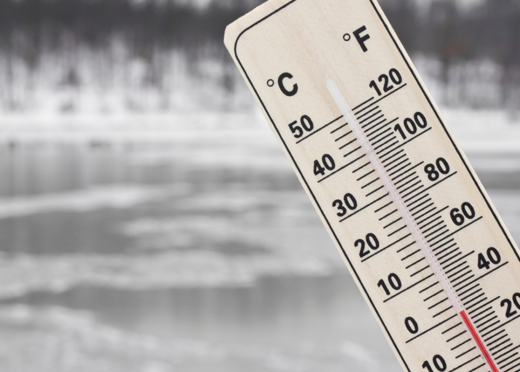
Now when you hear the weather report, listen for the buzzwords regarding atmospheric air flows. Even though the temperature of the Earth has risen more than 1 degree Celsius (1.8 F) since the Industrial Revolution and temperatures in the Arctic have risen more than twice as fast as the global average over the past 40 years, our planet is still habitable. But that is changing with every day that passes and every car that spews out exhaust. The years since 2009 have been the hottest in recorded human history – and the coldest. Temperatures of 110 degrees and minus 60 degrees are not meant for human survival.
The next ten years will bring more “breaking news” reports of extreme weather, floods, droughts, sea level rising, decimation of fish stocks and land species, wildfires and disasters in Nature that are no longer “natural.” Now is the time for everyone to understand what is going on land, sea and in the air and accept their responsibility for it on a personal, commercial and political level – and then take concrete steps to save our precious planet.